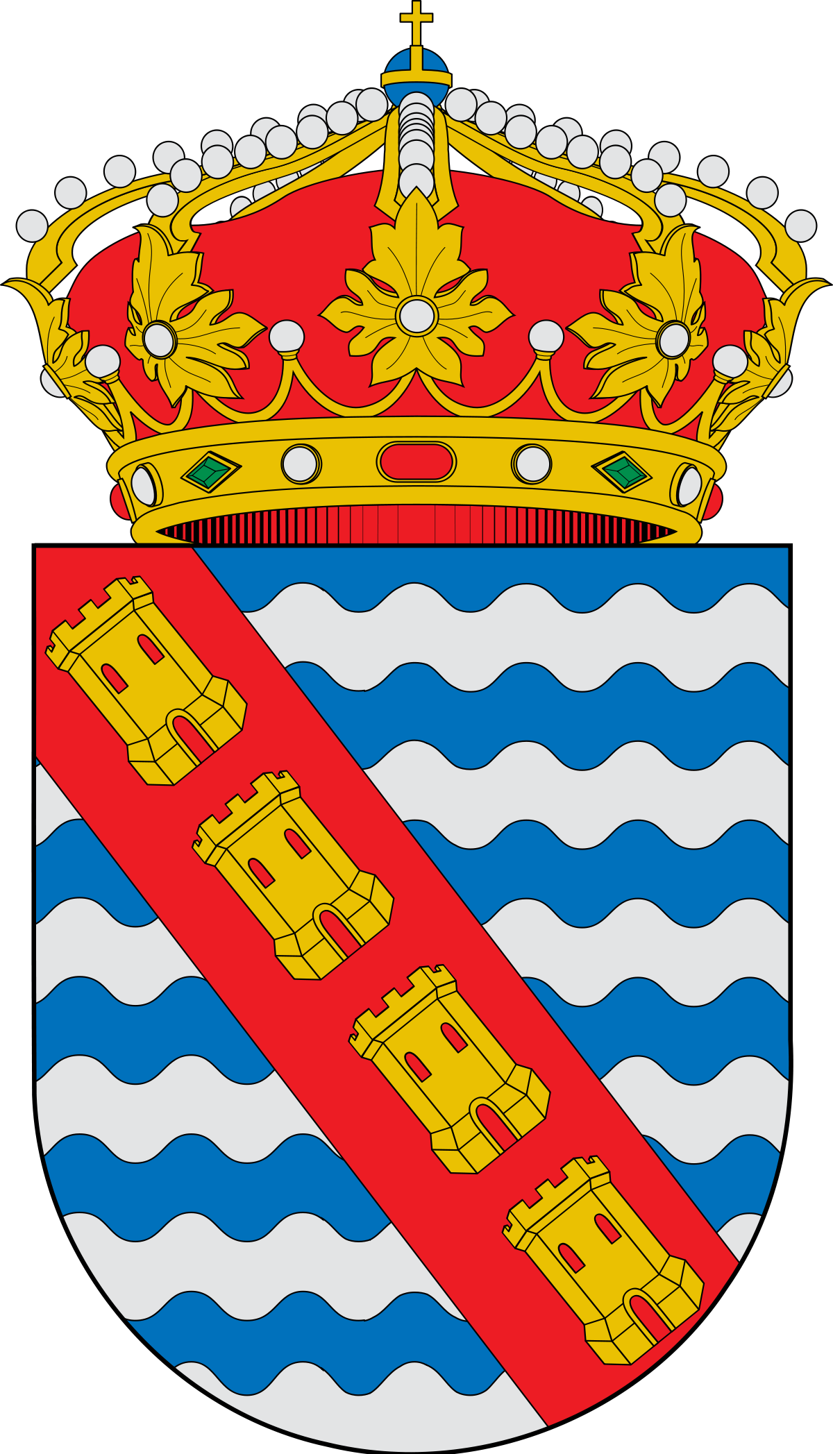

COUNCIL:
Pulsar para ir al concello
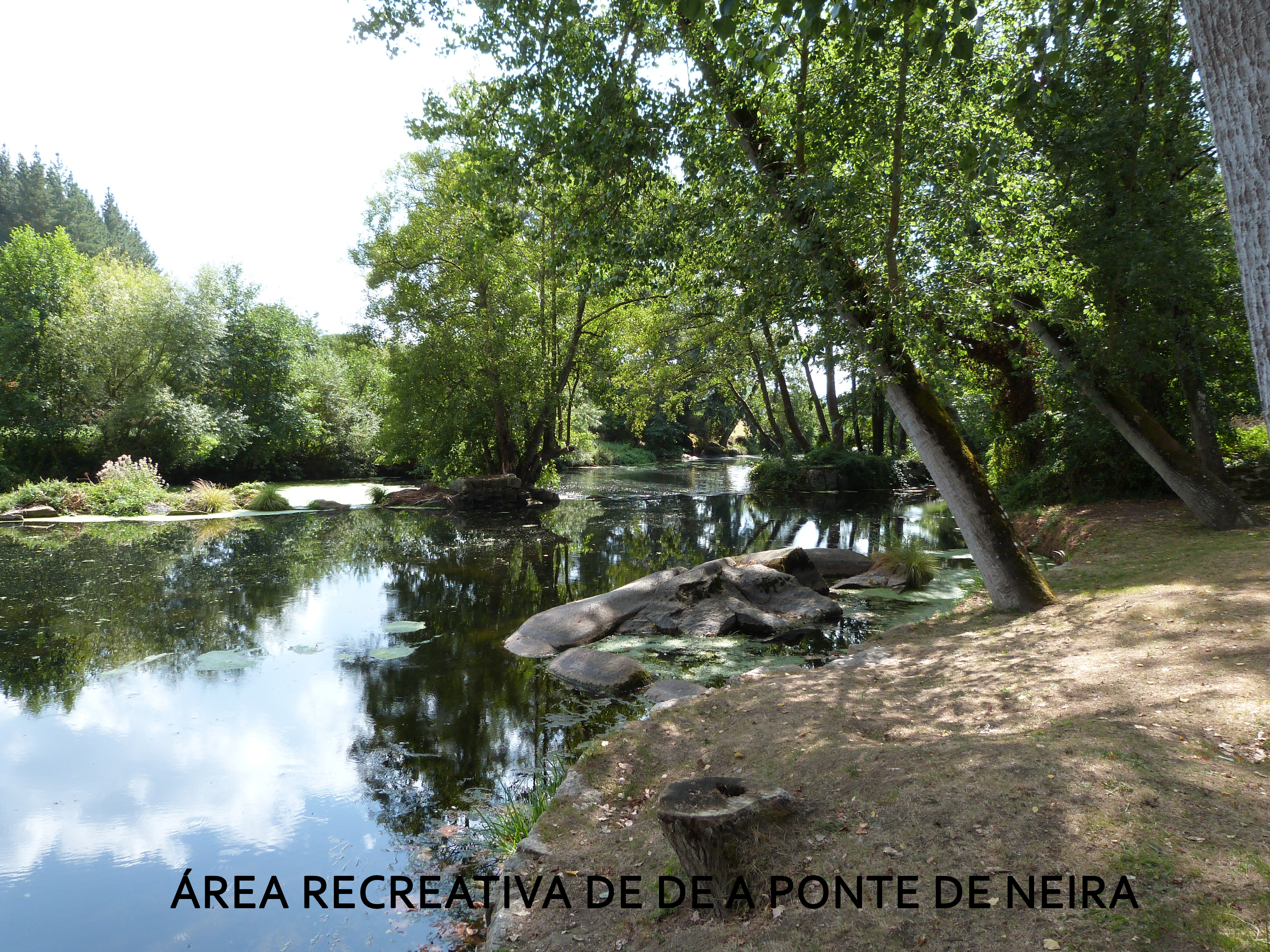
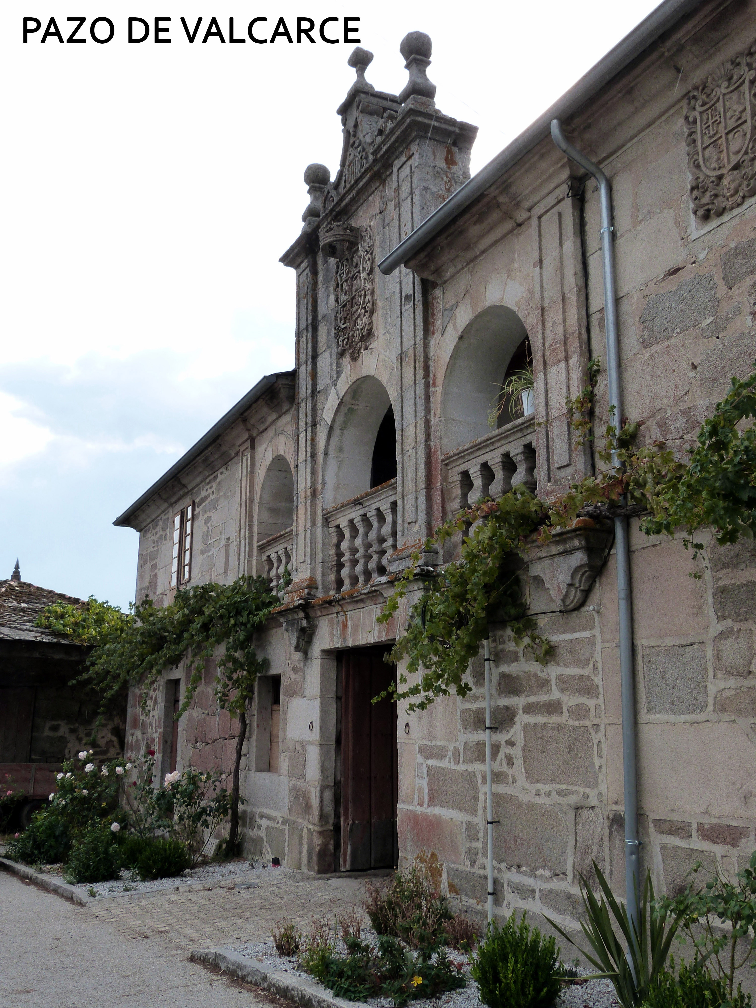
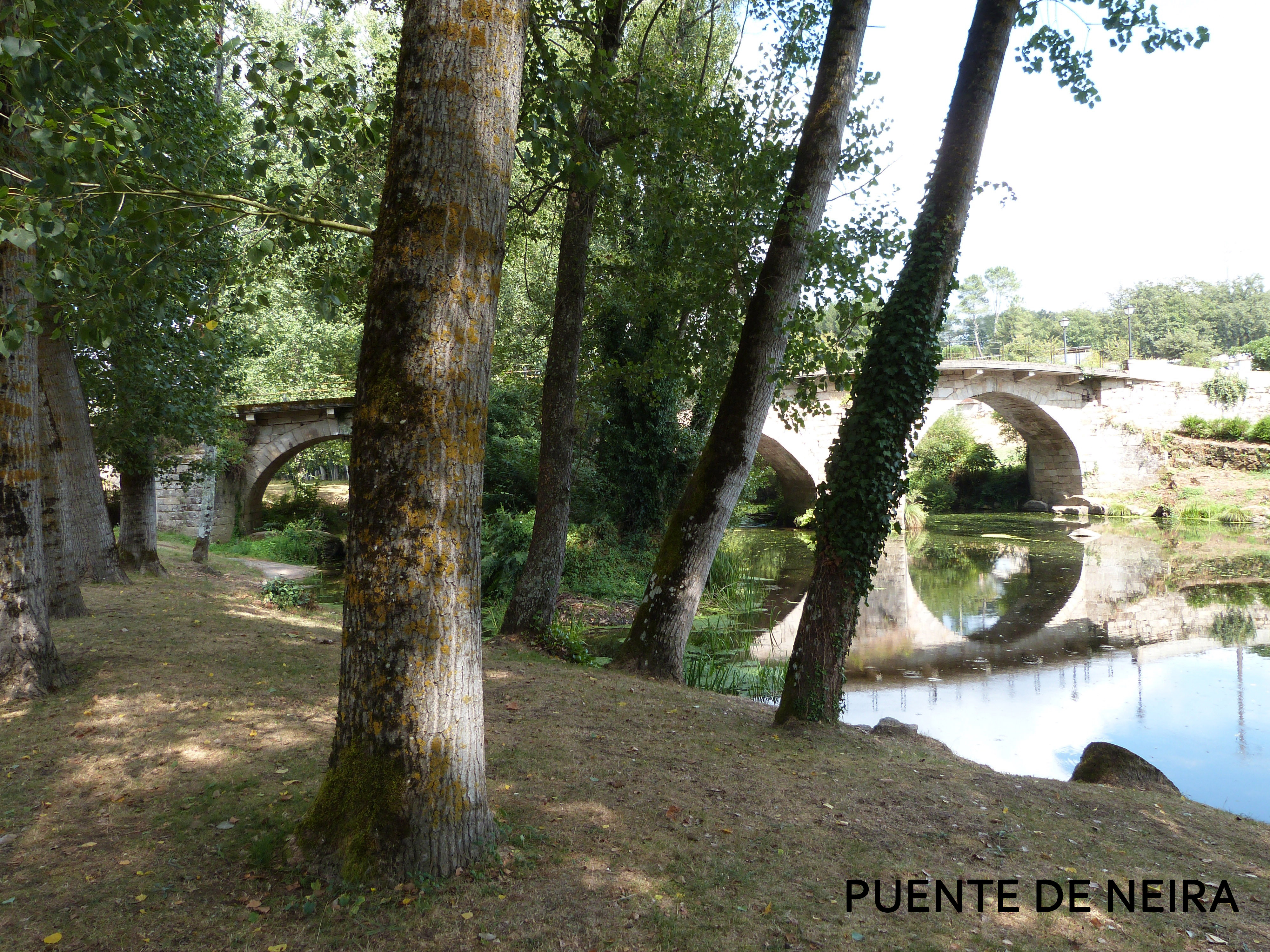
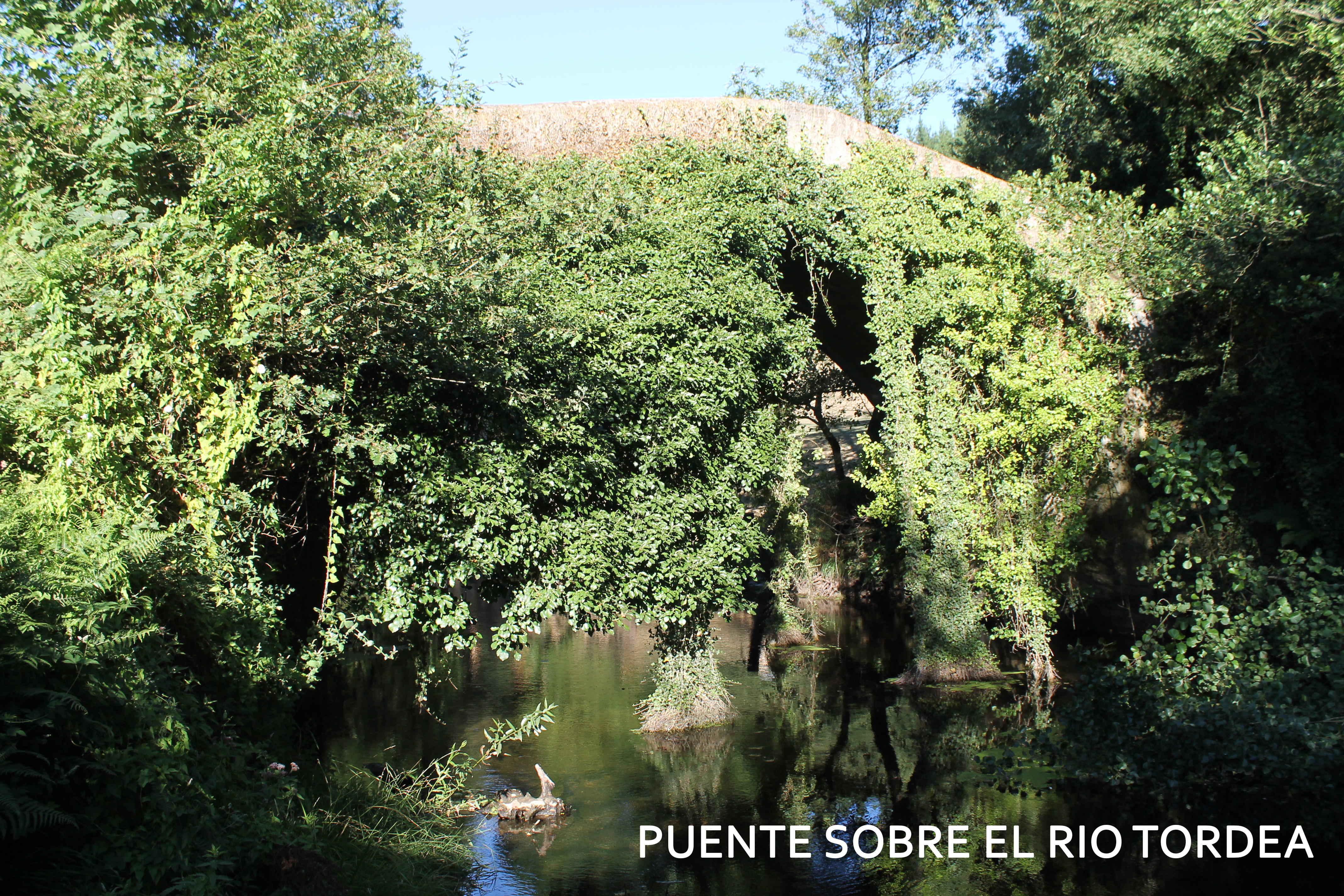
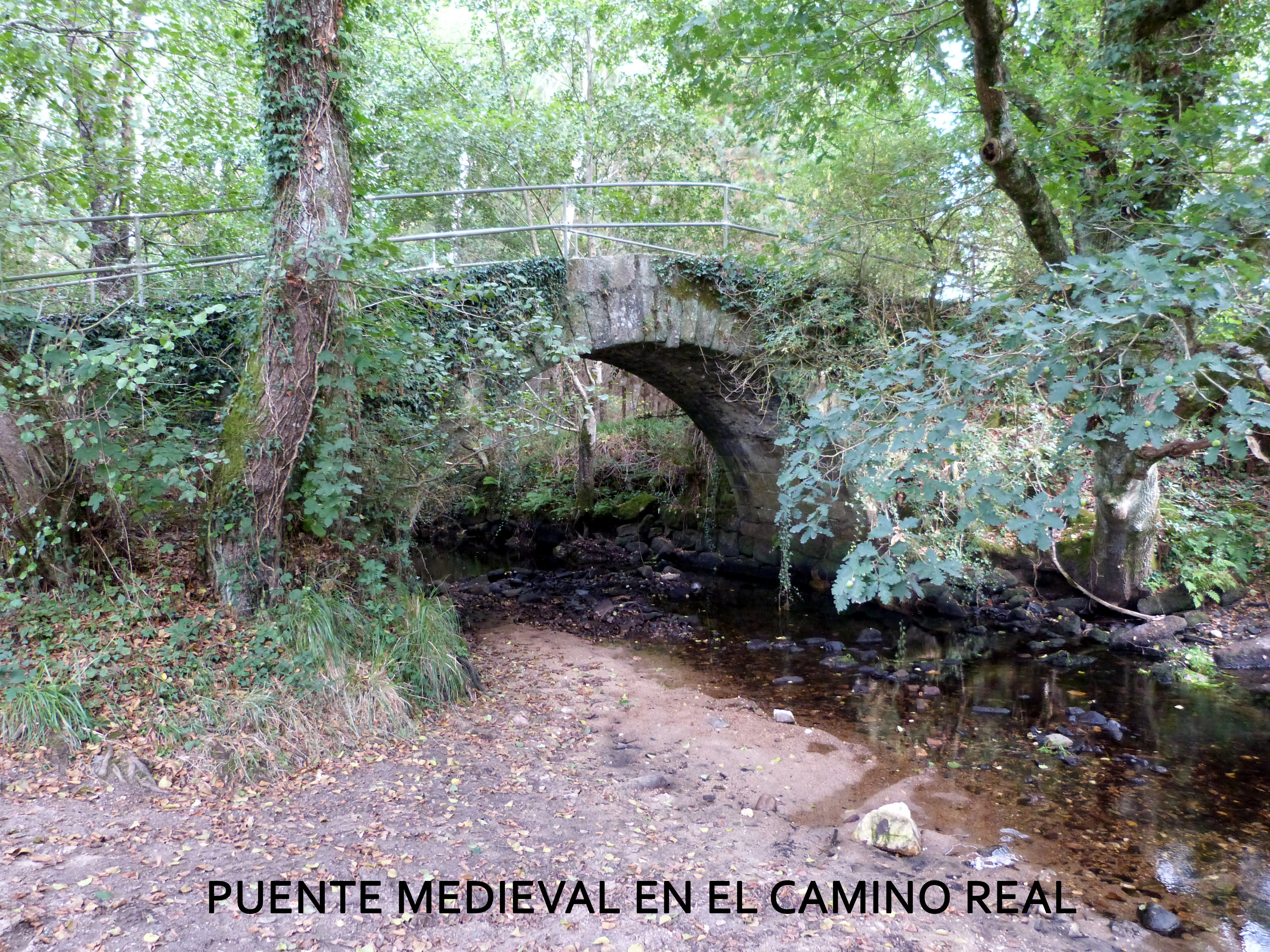
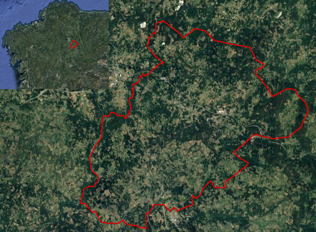
El Ayuntamiento de O Corgo está situado al este de Galicia, y en el centro de la provincia de Lugo, de la que administrativamente forma parte. Limita por el norte con los ayuntamientos de Lugo y Castroverde, por el este con los de Castroverde , Baralla y Láncara ; por el sur con los de Láncara y O Páramo y por el oeste con los de Guntín y Lugo. Su situación geográfica es: latitud 42º562 Norte; y la longitud de 7º255 Oeste, siendo su altitud sobre el nivel del mar, de 441 metros. Tiene como río principal el Miño y complementarios el Chamoso, Tordea, Neira, Maceira, Mazandan, Romeán, Amoa y Outeiro . Las elevaciones más destacadas son Pena de Cruz, 783 metros, Pena Aguda, 722 metros, Castro de Croa, 651 metros, Cantera de Vidueiro , 624 metros, Pena de Ladrón, 502 metros, Agra do Outeiro, 451 metros y Penas de Cañón , 431 metros, aparte de las sierras de Coedo y de Ferveda . O Corgo está bien comunicado gracias a una buena red de infraestructuras que conectan el municipio con Lugo y con los principales núcleos de la provincia. Las principales vías de comunicación son la carretera Nacional VI (Madrid- A Coruña) y la Autovía del Noroeste A-6 que atraviesa el ayuntamiento de oeste a este, la carretera comarcal C-546 de Lugo a Ourense, que atraviesa el municipio de norte a sur; y la vía férrea A Coruña-Palencia.
The Town Hall of O Corgo is located east of Galicia, and in the center of the province of Lugo, of which it is administratively part. It borders in the north with the town halls of Lugo and Castroverde, to the east with those of Castroverde, Baralla and Láncara; to the south with those of Láncara and O Páramo and to the west with those of Guntín and Lugo. Its geographical location is: latitude 42o56’2” North; and the length of 7o25’5” West, being its altitude above sea level, of 441 meters. It has as its main river the Minho and complementary the Chamoso, Tordea, Neira, Maceira, Mazandan, Romeán, Amoa and Outeiro. The most outstanding elevations are Pena de Cruz, 783 meters, Pena Aguda, 722 meters, Castro de Croa, 651 meters, Cantera de Vidueiro , 624 meters, Pena de Ladrón, 502 meters, Agra do Outeiro, 451 meters and Penas de Cañón , 431 meters, apart from the mountains of Coedo and Ferveda. O Corgo is well connected thanks to a good network of infrastructures that connect the municipality with Lugo and with the main nuclei of the province. The main roads of communication are the National Road VI (Madrid- A Coruña) and the Autovía del Noroeste A-6 that crosses the town hall from west to east, the regional road C-546 from Lugo to Ourense, which crosses the municipality from north to south; and the A Coruña-Palencia railway.
The Town Hall of O Corgo is located east of Galicia, and in the center of the province of Lugo, of which it is administratively part. It borders in the north with the town halls of Lugo and Castroverde, to the east with those of Castroverde, Baralla and Láncara; to the south with those of Láncara and O Páramo and to the west with those of Guntín and Lugo. Its geographical location is: latitude 42o56’2” North; and the length of 7o25’5” West, being its altitude above sea level, of 441 meters. It has as its main river the Minho and complementary the Chamoso, Tordea, Neira, Maceira, Mazandan, Romeán, Amoa and Outeiro. The most outstanding elevations are Pena de Cruz, 783 meters, Pena Aguda, 722 meters, Castro de Croa, 651 meters, Cantera de Vidueiro , 624 meters, Pena de Ladrón, 502 meters, Agra do Outeiro, 451 meters and Penas de Cañón , 431 meters, apart from the mountains of Coedo and Ferveda. O Corgo is well connected thanks to a good network of infrastructures that connect the municipality with Lugo and with the main nuclei of the province. The main roads of communication are the National Road VI (Madrid- A Coruña) and the Autovía del Noroeste A-6 that crosses the town hall from west to east, the regional road C-546 from Lugo to Ourense, which crosses the municipality from north to south; and the A Coruña-Palencia railway.
LISTED WITH THE PARTIES OF THE PARADITIES OF THE CITY COUNCIL OF CORGO:
FEBRUARY
-Shrove Tuesday (Local Holiday)
MAY
-Saint Angel in Ansean
-Virgin of the Virtues of San Miguel de Pedrafita
JUNE
-Corpus Christi in Santalla
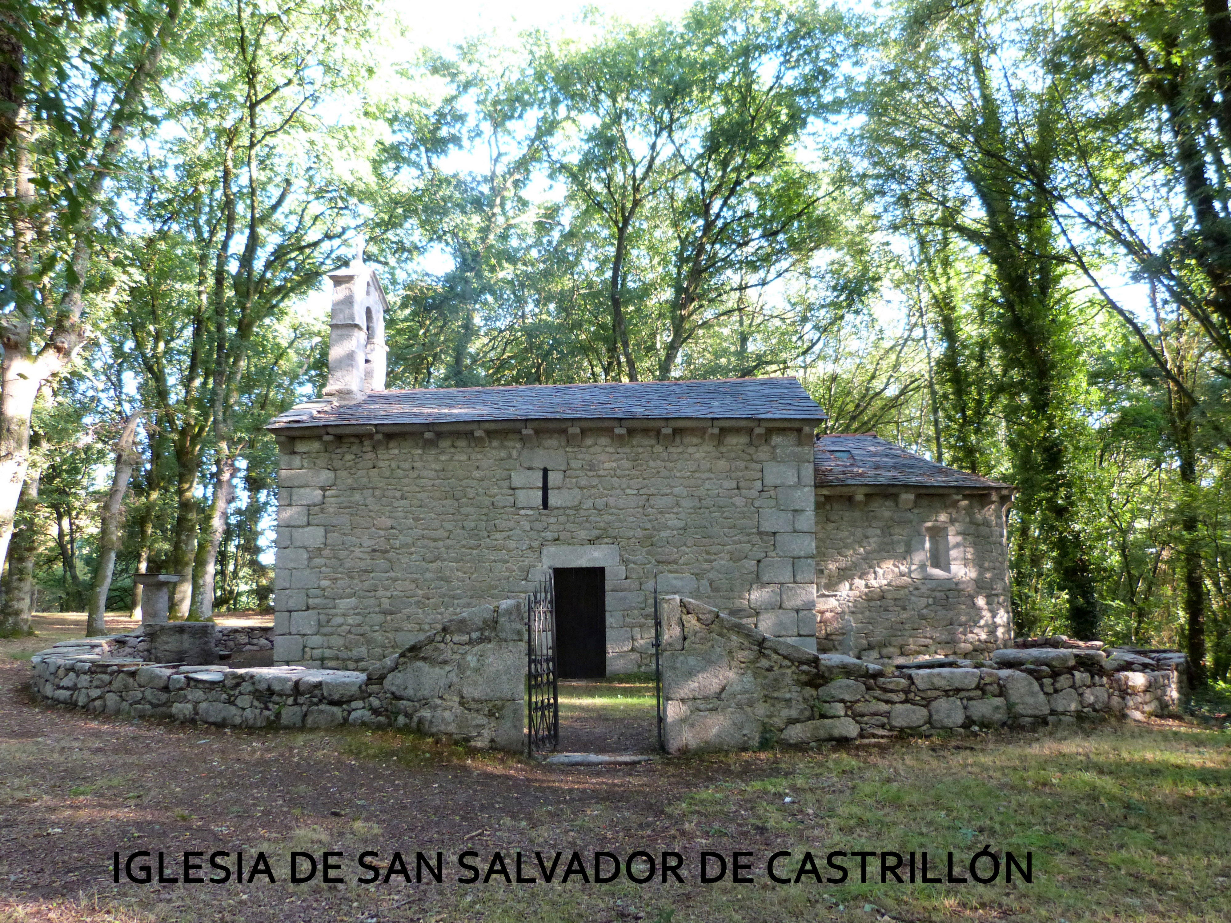
-San Bernabé in Castrillón
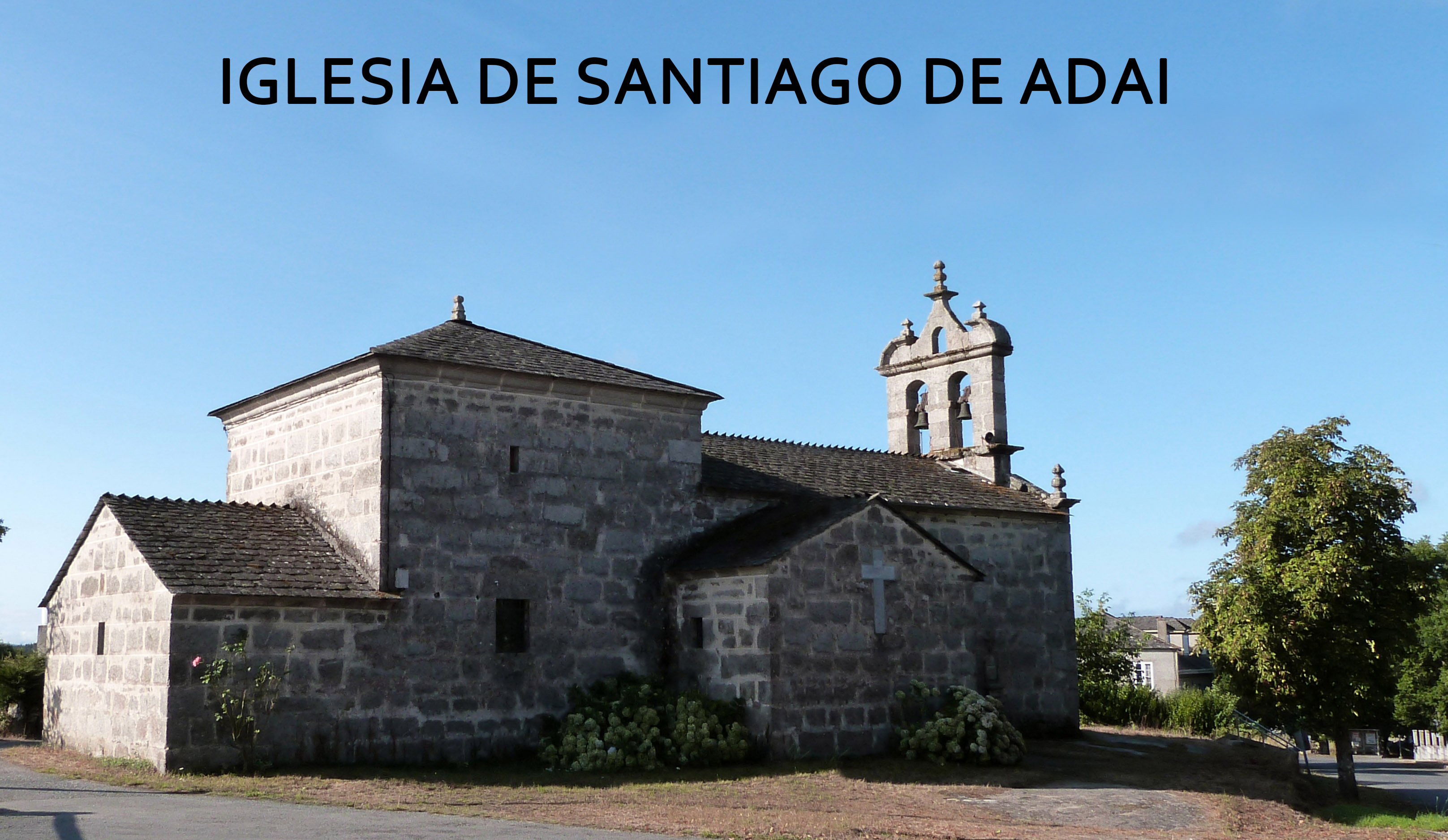
-Fair Cow and Horse Fair in Adai
-Festivities in Cela, Segovia (S. Juan) and Cerceda
JULY
-Horse Fair in Adai
-Festivities in Adai and Sabarei
AUGUST
-Folk pilgrimage on the river beach of Río Chamoso (Craft Fair)
-Saint Pedro Félix de San Fiz de Paradela
-Festivities in Marei (A Nosa Señora), Farnadeiros, Quinte, Abragán, Laxosa, Santa
María de Piñeiro (Quetesende), Saint Andrés de Chamoso y Franqueán (Saint Roque)
SEPTEMBER
-Feast of Sorrows in O Corgo
-Festivities in Arxemil
-Saint Crist of Gomeán
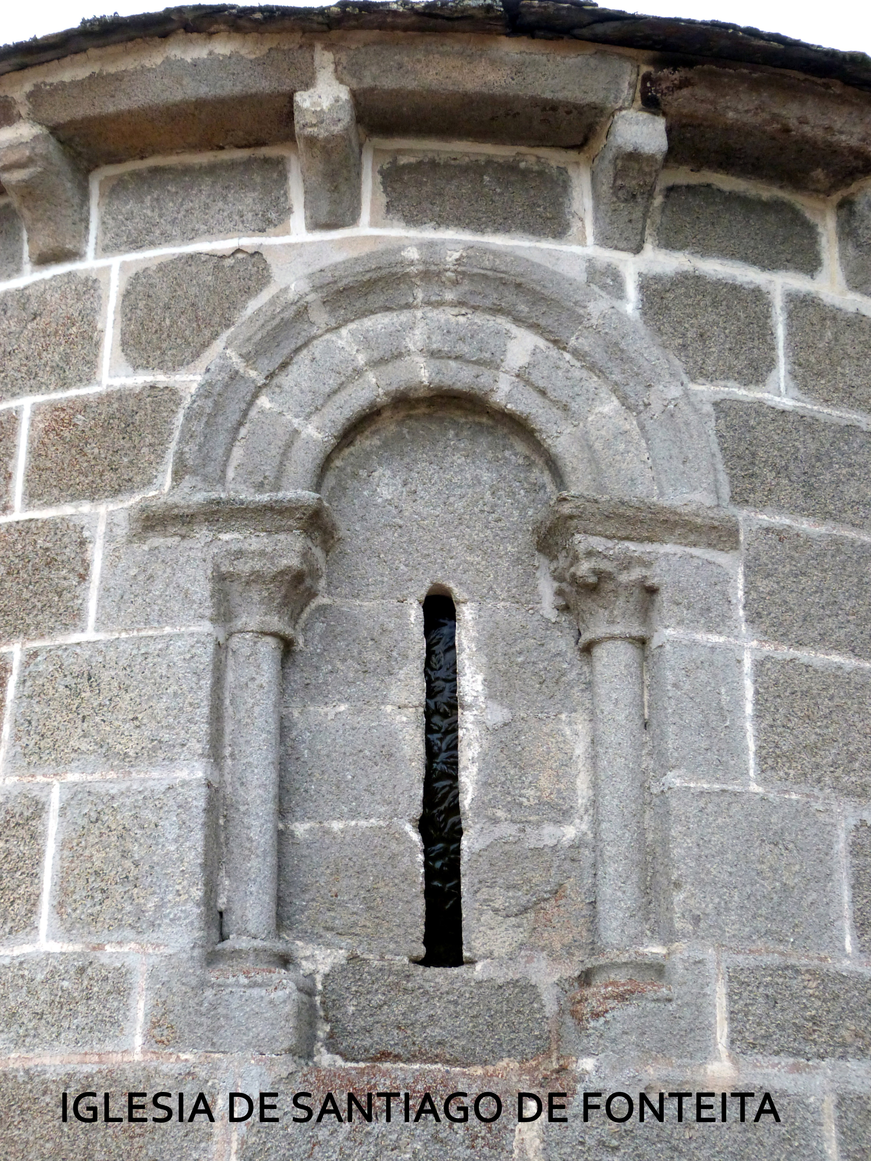
-Virgin of the Remedies of Fonteita
OCTOBER
-San Froilán (Local holiday) _ day 5
-Campelo party
* Fair in Adai on the 13th of each month.